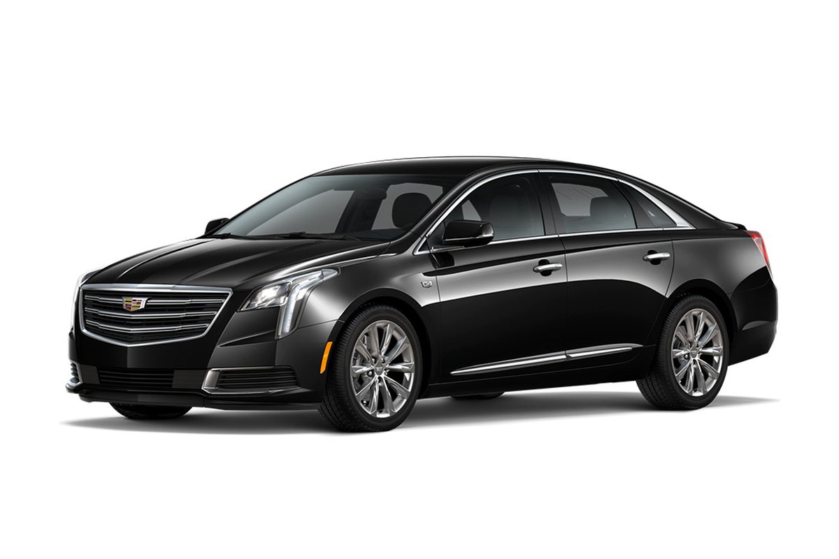

The neighbourhoods people most often ask to see in Hamilton fall into four touring loops: the lower city west (Westdale, Kirkendall, Durand), the lower city centre and east (Corktown, the North End, Crown Point), the Mountain, and the former towns (Ancaster, Dundas, Stoney Creek, Waterdown, Binbrook). A four-hour sedan with a chauffeur covers one or two loops for $480–580 all-in plus HST.
The best neighbourhoods in Hamilton depend on what you need
There is no single list of the best neighbourhoods in Hamilton, and anyone who gives you one without asking about your life is guessing. A McMaster researcher, a family with three children and a commuter to Toronto want different things: a walk to campus, a large yard and good schools, a short drive to a GO station. What we can do is show you the city efficiently. Our hourly chauffeur service exists for days exactly like this: one car, one chauffeur who knows the streets, and stops wherever you want to get out and walk.
This post groups the neighbourhoods newcomers ask about into four loops, each a realistic morning or afternoon, with the character of each area in broad strokes. For prices, schools and listings, talk to a local agent; the Cornerstone Association of REALTORS, which serves Hamilton and Burlington, publishes market data.
Why tour with a driver instead of your own car?
If you are new to Hamilton, you probably do not have a car here yet, or you are driving a rental and a map. Touring with a chauffeur changes the day in three ways:
- You look, not drive. You notice the street, the trees, the traffic and the corner shop instead of the next turn.
- Local knowledge. The chauffeur knows which escarpment access is fastest, where the GO station is, and how long the commute to the 403 really takes.
- No parking. You get out at each street, walk a block and get back in.
Agents often ride along or meet you at the viewings. Either works.
Loop 1: the lower city west
Westdale sits beside McMaster University, with a compact village shopping street, older brick homes and leafy streets; parts of it are popular with students and faculty. Kirkendall, around Locke Street South, has older homes on narrow streets and a strip of cafes, restaurants and independent shops. Durand, just south of downtown and below the escarpment, mixes large Victorian and Edwardian houses with apartment towers and is a short walk to the core.
The drive between them is ten to fifteen minutes in total. Allow two to three hours with walking stops. If campus matters, add a pass by McMaster University and the hospital beside it.
Loop 2: the lower city centre and east
Corktown, south-east of downtown near the Hamilton GO Centre, is one of the city's older neighbourhoods, close to the escarpment and the core. The North End, near West Harbour GO and the waterfront, has small older homes, Bayfront Park and Pier 4 close by, and James Street North a few minutes south. Crown Point, in the east lower city, is known for the shops and restaurants on Ottawa Street North and is a short drive from Hamilton Stadium (the former Tim Hortons Field).
This loop suits people who want a GO train within reach. The Hamilton GO Centre and West Harbour GO pages explain both stations; check GO Transit for the current service to Toronto.
Loop 3: the Mountain
"The Mountain" is Hamilton's name for the upper city on top of the Niagara Escarpment. It is mostly post-war and newer residential neighbourhoods, with larger lots than the lower city, shopping along Upper James and Upper Wentworth, and quick access to the Lincoln M. Alexander Parkway. Hamilton airport (YHM) in Mount Hope is about 15 km south of downtown, so the south Mountain is a practical base for frequent flyers.
Tour the Mountain in the car rather than on foot; the neighbourhoods are spread out. Ask the chauffeur to drive the morning commute route you would use, down the Claremont Access or the Jolley Cut, so you feel how long it takes.
Loop 4: the former towns
Ancaster, Dundas, Stoney Creek, Flamborough and Glanbrook have been part of the City of Hamilton since amalgamation in 2001, but each still feels like its own town.
- Ancaster: a historic village core, newer subdivisions, and the Meadowlands shopping area beside Highway 403.
- Dundas: a valley town with a walkable King Street, surrounded by conservation land and waterfalls.
- Stoney Creek: between the lake and the escarpment on the east side, with quick QEW access towards Niagara.
- Waterdown: in Flamborough to the north, close to Burlington and Aldershot station.
- Binbrook: in Glanbrook to the south-east, largely newer housing with a rural edge.
Each is 10–30 minutes from downtown. Pick two for one afternoon.
Planning distances and times
| From downtown Hamilton to | Distance | Drive time | Useful to know |
|---|---|---|---|
| Westdale / McMaster | about 6 km | 10–15 min | Campus, hospital |
| Ancaster, Dundas, Stoney Creek | 10–15 km | 15–20 min | 403, QEW access |
| Waterdown / Binbrook | 20 km | 20–30 min | Aldershot station; rural edges |
| Hamilton airport (YHM) | 15 km | 20–25 min | Mount Hope |
| Burlington | 15 km | 15–25 min | QEW, GO line |
| Union Station, Toronto | 68 km | 50–75 min | GO train alternative |
A viewing day, hour by hour
- 9:00 a.m. Pickup at a downtown hotel. The chauffeur has the list of viewings.
- 9:20 a.m. First viewing in Kirkendall; a walk along Locke Street afterwards.
- 10:30 a.m. Westdale: a second viewing and a coffee in the village.
- 11:45 a.m. Up the escarpment to a Mountain viewing near the Linc.
- 1:00 p.m. Lunch in Ancaster's village.
- 2:15 p.m. Two viewings in Ancaster subdivisions.
- 3:30 p.m. A drive through Dundas on the way back.
- 4:15 p.m. Drop at the hotel.
Seven and a quarter hours, booked as 7.5: $900–1,088 in a sedan, all-in plus HST.
What it costs
- Half day, one or two loops: four hours in a sedan, $480–580.
- Full day, three loops with viewings: seven or eight hours, $840–1,160.
- Family of five with children: a business SUV, a Tahoe or Yukon with five seats, at $145–175 an hour, so five hours is $725–875; an executive SUV at $190–235 an hour ($950–1,175 for five hours) gives more room. Add child seats at booking, a planning $10–15 each.
A focused touring day can easily cost less than the extra hotel nights and second trips that come from seeing the wrong areas first.
What to check on each street
Use the stops to check what listings do not show:
- Noise: trains, the Red Hill Valley Parkway, the Linc, flight paths near Mount Hope.
- Commute: time to the 403 or the QEW at 8:00 a.m., or to a GO station.
- Transit: HSR routes on the street; see HSR.
- Escarpment: which access you would use in winter.
- Daily errands: grocery stores, pharmacies and schools within a short drive.
For families: schools, parks and space
Families usually start with schools, and in Hamilton that means checking catchments with both public boards, the Hamilton-Wentworth District School Board and the Hamilton-Wentworth Catholic District School Board, before falling for a street. Use the tour to see the school on the walk you would actually do, and look at the parks, the traffic at drop-off time and how far the nearest grocery store really is.
Families with young children should add child seats at booking so the car is ready from the hotel, and allow ten minutes more at each stop for getting everyone in and out. An executive SUV gives space for a stroller and bags.
For students, researchers and hospital staff
People joining McMaster, Mohawk College or the hospitals often want a short commute above all. Westdale, Ainslie Wood and Kirkendall are close to McMaster and the hospital beside it; the Mountain is closer to Mohawk College's Fennell campus and to Juravinski. Ask the chauffeur to drive the route to your workplace at the time of your shift, and check the HSR routes that serve it.
For retirees and downsizers
Buyers moving closer to family often look for single-floor homes, condominiums and walkable services. Dundas, Ancaster's village, Stoney Creek and parts of the Mountain are common starting points, alongside condominium buildings in the lower city and Burlington. Use the tour to check the practical things: the distance to a pharmacy, a clinic and a hospital, the slope of the street in winter, and whether a bus stops nearby.
Viewing in winter
Hamilton looks different in February. Snow squalls off the lake, icy escarpment accesses and early darkness change how a neighbourhood feels and how long the commute takes. If you can, see your shortlist once in winter. Plan viewings in daylight, add half an hour to the booking for slower roads, and ask the chauffeur which streets are steep or slow to be ploughed.
Commuting to Toronto: test it in the car
Many buyers are moving from Toronto and will commute some days. The drive from downtown Hamilton to Union Station is about 68 km and 50–75 minutes; at rush hour, more. Ask the chauffeur to drive part of the route at the time you would travel, or compare it with the GO train from the nearest station. The Hamilton to Union Station page shows both options.
Staying while you look
Most people house-hunting stay a few nights. Downtown hotels suit loops 1 and 2; the Mountain and Ancaster hotels suit loops 3 and 4, and are closer to YHM. See downtown Hamilton hotels and Ancaster and Mountain hotels. The chauffeur picks up and drops at the lobby.
Mistakes newcomers make
- Viewing houses before seeing the neighbourhoods, then falling for a house in the wrong area.
- Visiting only on a Sunday, when traffic and parking look nothing like a weekday.
- Ignoring the escarpment, which shapes every commute in winter.
- Trying to see all four loops in one day.
How to book a neighbourhood tour direct
Open the reservation engine, choose hourly, pick the vehicle, set the start time and hours, and put your viewing list in the notes. The fixed fare appears before you confirm, gratuity included and HST separate. The City of Hamilton site is useful for ward maps and services while you plan.